A Planet Dominated by Water
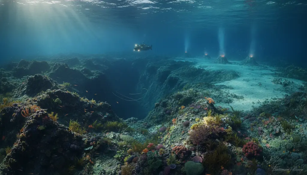
When we stand at the shoreline, we usually just notice the crashing surf, passing vessels, and an occasional island. Yet, the most expansive and mysterious terrain on Earth lies entirely submerged. Ranging from vibrant, sunlit shallows to pitch-black abysses untouched by light, the seafloor is anything but a flat expanse.
Roughly 71 percent of our planet’s surface is covered by water, with oceans holding about 97 percent of that total. Consequently, the majority of Earth’s mountain ranges, deep valleys, and sprawling plains exist underwater. Surprisingly, humanity often possesses better maps of the lunar surface or Mars than of our own marine depths.
The largest habitat on our planet sits in complete darkness, miles below the rolling waves.
Thanks to advancements in sonar, satellite mapping, and deep-sea exploration vehicles, experts are gradually bringing this concealed geography into focus. Generally, the seafloor transitions through several distinct zones as you travel from the coastline out into the open sea.
Continental Margins: Shallow, Bright, and Teeming with Life
The Continental Shelf: Earth’s Flooded Edges
The area extending directly from the beach is known as the continental shelf. Geologically speaking, this is simply the flooded perimeter of the landmass.
- Depth: Generally reaches only a few hundred meters.
- Coverage: Makes up roughly 8 percent of the total ocean floor.
- Sunlight: Solar rays still penetrate this zone, allowing marine flora to thrive.
The width of this underwater border varies drastically depending on your global location. This relatively shallow region boasts incredible biological productivity. An estimated 90 percent of all marine fish reside above the continental shelf. Because sunlight and nutrients are abundant, nearly all seagrasses and a massive portion of ocean algae flourish here.
The Ancient Land Bridge Between Continents
One historically famous margin is the region around the modern-day Bering Strait, situated between Alaska and Siberia. During the last glacial period, sea levels dropped by hundreds of meters, exposing this shallow shelf and creating a massive land bridge. Researchers widely believe early humans used this exposed route to migrate from Asia into North America. Today, the ocean has reclaimed the area, and its deepest sections reach merely 55 meters.
The Continental Slope: Plunging into the Abyss
The continental shelf eventually drops off, marking the start of the continental slope. This steep transition zone bridges the shallow coastal edges and the extreme oceanic depths, covering around 9 percent of the seafloor.
On average, the underwater terrain here tilts downward at a 4-degree angle. While that might sound gradual, the depth increases dramatically over just a few dozen miles. Along certain coastlines, the ocean floor plunges from a few hundred meters to several kilometers down in an incredibly short span.
Some sections of this slope are exceptionally dramatic. Far off the coast of the Cape of Good Hope, southwest of Africa, the seabed plummets approximately 6,000 meters over a horizontal stretch of just 16 kilometers. That equates to an astonishing 70-degree average incline, essentially forming a massive underwater cliff.
The Abyssal Plain: Earth’s Largest and Flattest Expanse
Following this steep descent lies a colossal, sprawling region known as the abyssal plain. These gently rolling or completely flat environments sit at depths ranging from 3,000 to 6,000 meters. Remarkably, they account for roughly half of the entire ocean bottom.
When compared to the dramatic continental slope, the abyssal plain is incredibly level. While the slope drops thousands of meters rapidly, this deep expanse declines by less than a meter per kilometer. It remains the largest contiguous landscape on our planet, even if it is completely hidden from view.
Despite being Earth’s most expansive habitat, it remains largely an enigma. Below 3,000 meters, complete darkness reigns and photosynthesis is impossible. Any organisms surviving here rely entirely on alternative food sources, such as decaying organic matter drifting down from above or chemical energy generated by hydrothermal vents.
Abyssal Hills: The Bumpy Deep-Sea Terrain
However, the abyssal plain is not perfectly flat everywhere. Massive stretches are dotted with abyssal hills, which are relatively small underwater bumps rising above the flat sediment. These features make up an estimated 30 percent of the global seafloor.
Typically measuring just a few hundred meters tall, these hills fall far short of the ocean surface and are much smaller than true underwater mountains. They usually form through tectonic shifting or volcanic activity along mid-ocean ridges. For deep-sea creatures, these bumps create unique currents, offer hiding spots, and sometimes provide a slightly better supply of drifting nutrients.
Seamounts: Invisible Volcanic Giants
True underwater mountains, globally recognized as seamounts, are massive volcanic structures that never quite breached the water’s surface. While they remain completely submerged, they can tower thousands of meters above the surrounding abyssal plain.
These submerged peaks force ocean currents to swirl upwards, bringing vital nutrients from the depths. This upwelling transforms seamounts into deep-sea oases, attracting massive congregations of fish, corals, and other marine life. Unfortunately, because they are rarely mapped with precision, these invisible giants also pose serious collision risks for maritime vessels and commercial fishing gear.
Ocean Trenches: Plunging to Planetary Extremes
In areas where massive tectonic plates collide and one is forced beneath another, narrow and incredibly deep chasms form. These ocean trenches represent the deepest extremes of the seafloor and remain some of the least visited locations on Earth.
The most famous of these is the Mariana Trench, located in the western Pacific Ocean. Its lowest recorded point plunges roughly 11,034 meters below sea level. For context, Mount Everest, the highest peak on land, stands at 8,848 meters. If you dropped Everest into the Mariana Trench, its summit would still be submerged under more than a mile of water.
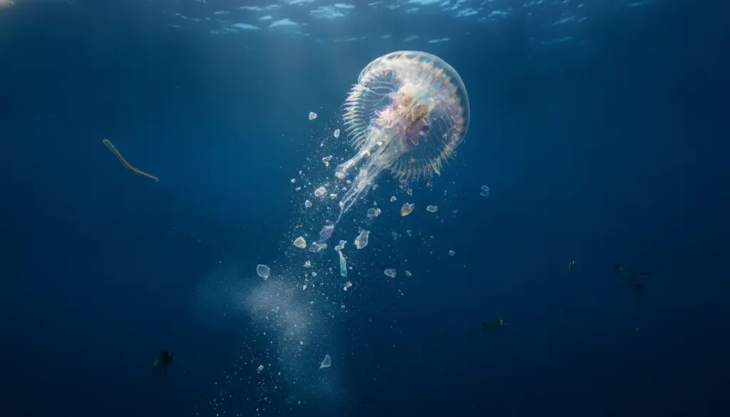
Down in these chasms, the water pressure is over a thousand times greater than the atmospheric pressure we experience on land. Astonishingly, researchers still discover life thriving here. Specially adapted microorganisms, small crustaceans, and bizarre fish navigate the crushing weight and absolute darkness.
Volcanic Islands: When the Seafloor Breaks the Surface
If an underwater volcano erupts long enough, its peak can eventually break through the ocean’s surface. Once it emerges into the air, the seamount officially becomes an island. Iconic archipelagos, like Hawaii, were born exactly this way, with volcanoes slowly rising from the depths over millions of years.
In places like Hawaii, you can watch this geological construction in real-time. As molten lava hits the ocean, it cools instantly into solid rock, expanding the landmass inch by inch. Conversely, natural erosion from crashing waves and rising sea levels slowly wears some older islands away, meaning they could eventually vanish back beneath the waves.
Determining the exact number of ocean islands is notoriously difficult. Depending on minimum size definitions, estimates range from a few thousand to well over a hundred thousand. On a geological timescale, shifting sea levels and ongoing volcanic activity ensure this number is constantly in flux.
How Hidden Topography Impacts Our Daily Lives
Even though most of us will never personally view an ocean trench or an abyssal plain, these hidden geological features directly shape our global economy, weather patterns, and food supply.
- Commercial fishing: The shallow continental shelf supports a massive portion of global seafood catches.
- Climate control: Towering seamounts and steep slopes redirect powerful ocean currents, which fundamentally drive global climate patterns.
- Natural disasters: Deep subduction trenches and fracture zones are directly linked to devastating tsunamis and massive marine earthquakes.
- Global connectivity: Vital telecommunications and internet cables rest on the ocean floor, carefully routed alongside or directly over these underwater landforms.
Because vast swaths of the seafloor remain unmapped, critical global infrastructure relies on a geographical understanding that is still actively developing. Modern deep-sea surveys constantly reveal that older marine charts are either missing huge features or are completely outdated.
The Uncharted Future of the Ocean Floor
Countless mysteries still wait in the dark. How many undiscovered species inhabit the deep ocean? How will these fragile ecosystems handle marine acidification and climate shifts? Furthermore, what impact will emerging industries, like deep-sea mining, have on these untouched zones?
Scientists are actively pushing to map the depths more accurately using autonomous underwater drones and high-tech sonar. Areas once assumed to be featureless plains are regularly revealed to hold ancient riverbeds, sprawling canyons, and hidden mountain ranges. These discoveries offer geologists fresh data on tectonic plates, help biologists track species distribution, and show policymakers exactly which marine zones require urgent protection.
Anyone attempting to study the seafloor inevitably runs into extreme logistical and technical barriers. Launching expeditions into the deepest trenches is both highly dangerous and incredibly expensive. Yet, global interest is surging rapidly. Beyond pure scientific discovery, nations are eyeing the rare minerals and precious metals scattered across certain deep-sea sediments. Over the coming decades, this blending of economic ambition, conservation, and scientific curiosity will only intensify the race to understand our planet’s hidden underwater landscape.